Introduction: Navigating the City of Lights
Paris, often hailed as the City of Lights, is a treasure trove of culture, history, and breathtaking sights. From the iconic Eiffel Tower to the scenic banks of the Seine, Paris promises an unforgettable experience for every traveler. A crucial companion on this journey is a detailed Paris map, guiding you through the city’s charming streets and to its renowned landmarks.
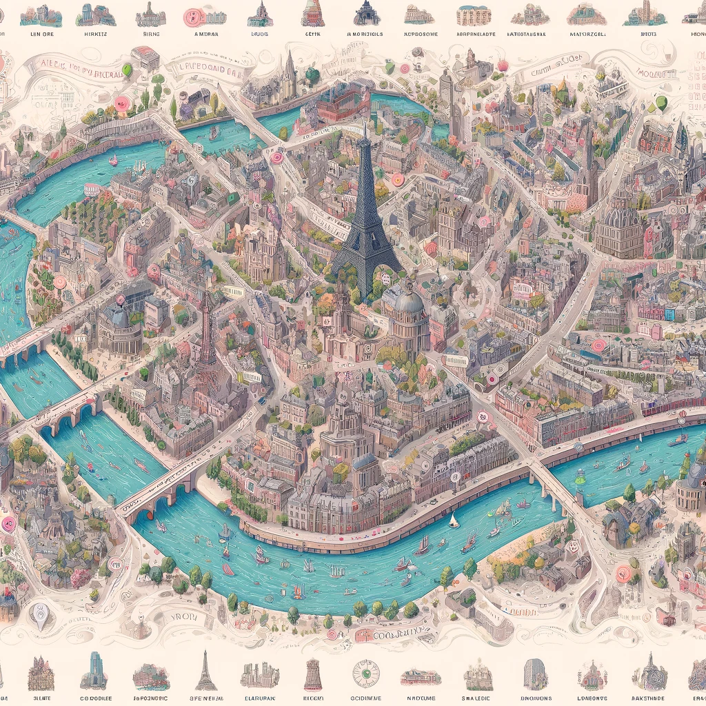
Understanding Paris Maps: Types and Features
Paris maps come in various formats, each serving different purposes. Whether you’re a history enthusiast, an art lover, or a culinary explorer, there’s a map to meet your needs.
- Street Maps: Ideal for navigating the city’s intricate network of streets, highlighting major roads, landmarks, and neighborhoods.
- Tourist Maps: These maps emphasize popular attractions, museums, and cultural sites, often with pictograms for easier identification.
- Public Transportation Maps: Essential for using the Paris Metro, buses, and trams, showing routes, stations, and transit lines.
- Walking Tour Maps: Tailored for pedestrians, these maps showcase scenic routes, historical walks, and thematic explorations such as literary or culinary tours.
Choosing the Right Map for Your Paris Adventure
Selecting the appropriate map enhances your travel experience, allowing for efficient planning and exploration. Consider your primary activities, transportation modes, and areas of interest when choosing a map.
Digital vs. Physical Maps: Pros and Cons
While physical maps offer reliability and a tangible sense of direction, digital maps provide real-time updates, GPS navigation, and interactive features. Balancing both can offer a comprehensive navigational aid.
Must-Visit Landmarks and Their Map Coordinates
A Paris map is your gateway to discovering the city’s heart and soul. Notable landmarks include:
- Eiffel Tower (48.8584° N, 2.2945° E): An emblem of Paris, offering panoramic views of the city.
- Louvre Museum (48.8606° N, 2.3376° E): Home to thousands of works of art, including the Mona Lisa.
- Notre-Dame Cathedral (48.8529° N, 2.3508° E): A masterpiece of French Gothic architecture.
- Montmartre (48.8867° N, 2.3431° E): Known for its bohemian vibe, artists, and the Sacré-Cœur Basilica.
FAQs on Using a Paris Map
How can I find a reliable Paris map?
Reliable Paris maps are available at tourist centers, bookstores, and online platforms. Official Paris tourism websites also offer downloadable maps.
What is the best way to use a Paris Metro map?
Start by identifying your departure and arrival stations, then trace the lines connecting them, noting any transfers. Metro maps are color-coded for easier navigation.
Can I rely solely on digital maps for exploring Paris?
While digital maps are convenient and offer real-time navigation, it’s wise to carry a physical map as a backup, especially in areas with limited internet access.
Are there any free maps available for tourists in Paris?
Yes, free maps are often available at hotel receptions, tourist information centers, and some public transport stations.
How can I find my way in Paris without speaking French?
Many Paris maps, especially those designed for tourists, feature landmarks and street names in both French and English. Learning a few basic French phrases for directions can also be helpful.
Conclusion: The Art of Exploring Paris with a Map
A Paris map is more than a tool; it’s a companion that unveils the layers of this historic city, allowing you to traverse its streets, discover its secrets, and experience the essence of Parisian life. Whether you’re marveling at the architectural wonders, indulging in the culinary delights, or soaking in the artistic atmosphere, a map ensures your journey through Paris is as enriching as it is efficient. With this guide, you’re now equipped to navigate the City of Lights with confidence and curiosity.
Read more informative articles.